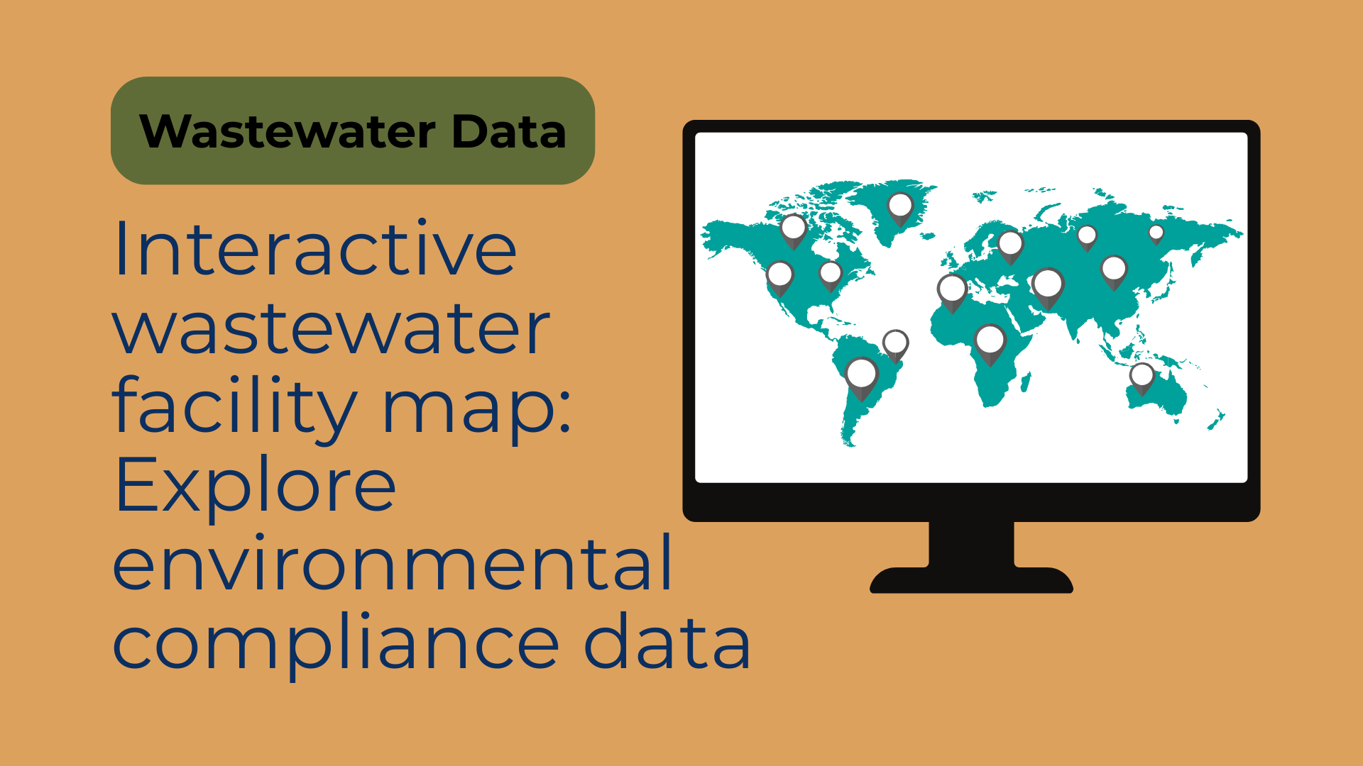
Introduction to Klarifi's interactive map
Having an overview of compliance across US industrial facilities and wastewater treatment plants requires detailed, accurate, and accessible data. Our interactive map makes it easy for wastewater solution providers to explore, analyze, and engage with facilities by integrating wastewater insights, environmental compliance data, and satellite imagery into one user-friendly interface.
Walkthrough: Finding publicly owned facilities with BOD challenges
Klarifi's visual walkthrough guides you through rich, interactive data layers. From locating a facility to drilling into discharge trends and downloading contacts, each step reveals new lead-generation opportunities. In the below walkthrough we show how you in just a few clicks can identify public owned facilities having violated their BOD permit the last 365 days. You can also explore other interesting aspects such as historical discharge patterns, contact details and aerial images of more than 100.000 US based facilities.
This interactive walkthrough can only be experienced on desktop. Please visit this page on a larger screen to see the full demonstration.


Key features of the interactive map
Klarifi's map uniquely combines environmental compliance data from wastewater and detailed insights into facility-level operations. It allows you to zoom into specific regions to quickly pinpoint local facilities, evaluate their compliance histories, and gather critical contact information. K larifi's intuitive interface provides a clear, geographic context to complex wastewater compliance data. Key functionalities include:
- Interactive wastewater data of 200,000+ industrial facilities and WWTPs
- Detailed historical compliance records and wastewater permit data
- Filter facilities by location, compliance history, industry, wastewater structures and flow size
- Satellite imagery to support environmental data mapping and verification of wastewater structures
Detailed facility profiles
Each facility on Klarifi's platform has a comprehensive profile that includes:
- Relevant contact details for superintendents, plant managers and environmental officers
- Historical and current compliance records including wastewater violations
- Discharge and flow metrics
- Count of wastewater structures like clarifiers, aeration tanks, lagoons, cooling towers
Read more about the detailed wastewater facility data behind each plant.
Real-world benefits for users
Users like wastewater solution providers report significant benefits:
- Dramatic reduction in manual research time
- Higher accuracy in facility targeting
- Increased sales effectiveness through precise lead generation
Frequently asked questions
What type of wastewater compliance data is available on Klarifi's map?
Klarifi provides comprehensive compliance data including historical permit information, environmental violations, and discharge volumes primarly from the NPDES program.
How often is the environmental compliance data updated?
The wastewater data is updated weekly, monthly and yearly depending on the source. For NPDES facilities the envrionmental compliance data is updated weekly.
Can I download wastewater facility data directly from Klarifi's map?
Yes, Klarifi allows users to easily filter, select, and download detailed wastewater data for more than 200,000 facilities across North America and Europe.
Your one stop shop for wastewater lead generation
for wastewater experts
City budgets, compliance history, official contacts and more...